
STATE WORK
OCEAN USE SURVEYS
Blue Prosperity Micronesia is engaging community members to learn how people use and value the ocean, ensuring that future planning efforts are as beneficial and inclusive as possible.
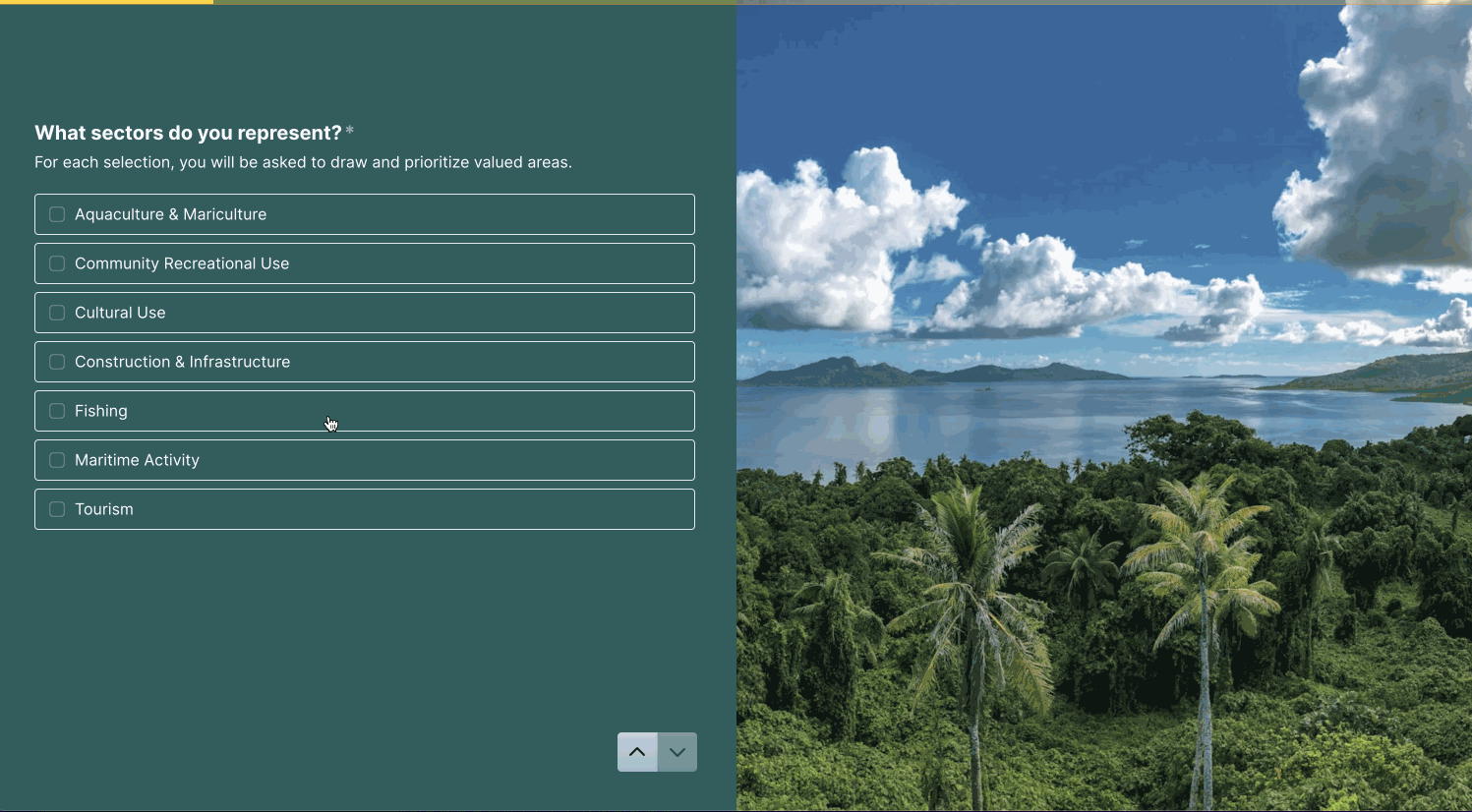
The Blue Prosperity Micronesia Ocean Use Survey is a mapping survey that asks respondents to identify areas in the marine environment that they value or use. Using the SeaSketch mapping tool, stakeholders draw shapes in locations they use or find important and assign a relative value for each shape (see animation below).
Responses collected are summarized by producing heatmaps, where higher values indicate places of higher importance.
The BPM Ocean Use Survey will provide communities and policymakers with crucial insights into how people use the ocean across the FSM, helping them better account for different activities, including fishing, tourism, aquaculture, cultural use, and more in both current and future planning processes.
BPM completed an Ocean Use Survey in Kosrae in 2022 and is now expanding the survey to Yap’s neighboring islands.

CHUUK
BPM will soon launch an Ocean Use Survey in Chuuk.

_JPG.jpg)

