
BLUE PROSPERITY MICRONESIA
OCEAN USE SURVEY IN YAP
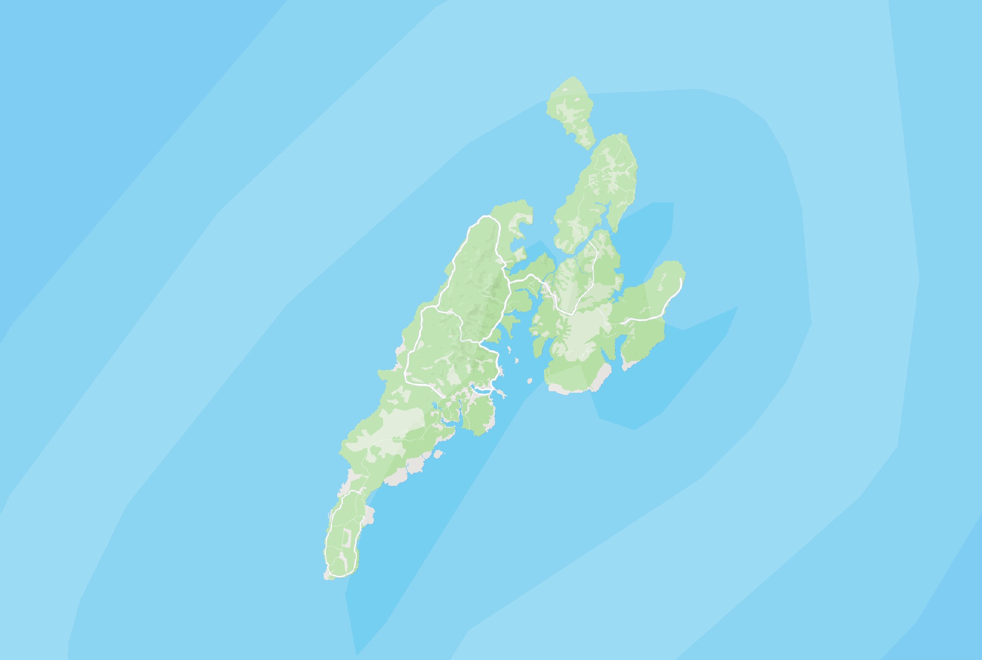
Blue Prosperity Micronesia completed an Ocean Use Survey in Yap to learn how people use and value the ocean. A team of survey enumerators visited all 10 municipalities on Yap's Main Island from August through October 2024.
In 2025, the BPM Ocean Use Survey expanded to Yap's Neighboring Islands. By reaching more islands and communities, BPM can help to ensure that more communities' voices are heard and included in Marine Spatial Planning efforts.
436
survey responses
2,311
people represented
2,326
shapes drawn
INTERACTIVE MAPS
Want to learn more about the Yap Ocean Use Survey? View the ArcGIS StoryMap for a brief overview of the project and interactive heatmaps.
Interactive Story Map
Interactive Heatmap

PHOTOS FROM THE FIELD


FREQUENTLY ASKED QUESTIONS
WHO'S INVOLVED
The BPM Ocean Use Survey in Yap is a locally led effort. Survey planning, development and deployment is led by a working group consisting of members from the following organizations:
-
Council of Pilung
-
Council of Tomol
-
Yap Locally Managed Area Network
-
Yap Fishing Authority
-
Yap Environmental Protection Agency
-
Office of Planning & Budget (OPB)
-
Yap Visitors Bureau
-
Yap Marine Resources Management Division
-
Blue Prosperity Micronesia
-
Micronesia Conservation Trust
-
Waitt Institute
-
SeaSketch