
BLUE PROSPERITY MICRONESIA
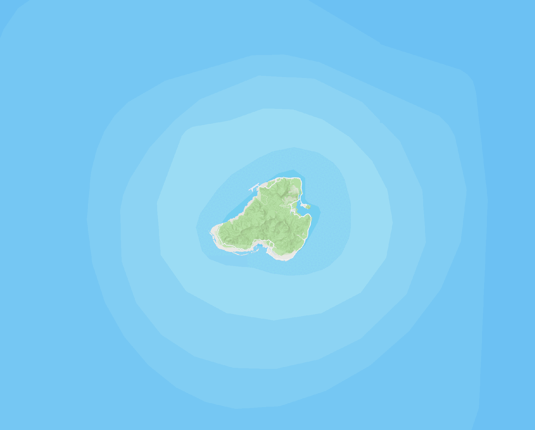
OCEAN USE SURVEY IN KOSRAE
Blue Prosperity Micronesia is a program focused on expanding capacity to strengthen the sustainable use of marine resources in the FSM. In partnership with the Kosrae Conservation & Safety Organization, Blue Prosperity Micronesia conducted an Ocean Use Survey to learn how Kosraens use and value the ocean.
247
survey responses
1,598
people represented
1,584
shapes drawn

INTERACTIVE MAPS
Want to learn more about the Kosrae Ocean Use Survey? View the interactive story map below to read about the planning process, data collection, and results, and the interactive heatmap to see the survey responses collected.
Interactive Story Map
Interactive Heatmap

PHOTOS FROM THE FIELD


ABOUT THE OCEAN USE SURVEY
The Ocean Use Survey (OUS) is a participatory mapping survey that asks respondents to identify areas in the marine environment that they value or use. The OUS will aid the Government in understanding areas of personal, economical, cultural, and ecological importance to stakeholders.

-
Responses collected will represent how and where Kosraeans use the ocean space.
-
Your input will help inform the Kosrae Marine Spatial Plan.
-
Responses are anonymous and individual spots will not be shared.
-
The results will be publicly available as consolidated heat maps per ocean sector after the survey period ends.
-
Learn more about the OUS and why it is important below.
TAKE THE SURVEY
Data collection for the Kosrae Ocean Use Survey has closed.
Want to learn more about the survey? Click the button below to get in touch with our team.
You can also send an email to kcso@mail.fm.
FREQUENTLY ASKED QUESTIONS
WHO'S INVOLVED

The Ocean Use Survey is part of Kosrae's Marine Spatial Planning efforts under the national Blue Prosperity Micronesia program.
The Kosrae Conservation & Safety Organization will facilitate the survey to Kosraeans.
SeaSketch is developed by the creative people in the McClintock Lab at the Marine Science Institute at the University of California Santa Barbara.

The Waitt Institute creates and implements sustainable ocean plans in partnership with committed governments, local stakeholders and communities.